
Benchmarks
- Signa
- Jul 13
- 1 min read

A few months ago, a friend and I went hunting for benchmarks. Thankfully, we weren't going in blind; there are maps online. We used https://www.bench-marks.org.uk/maps/lr54
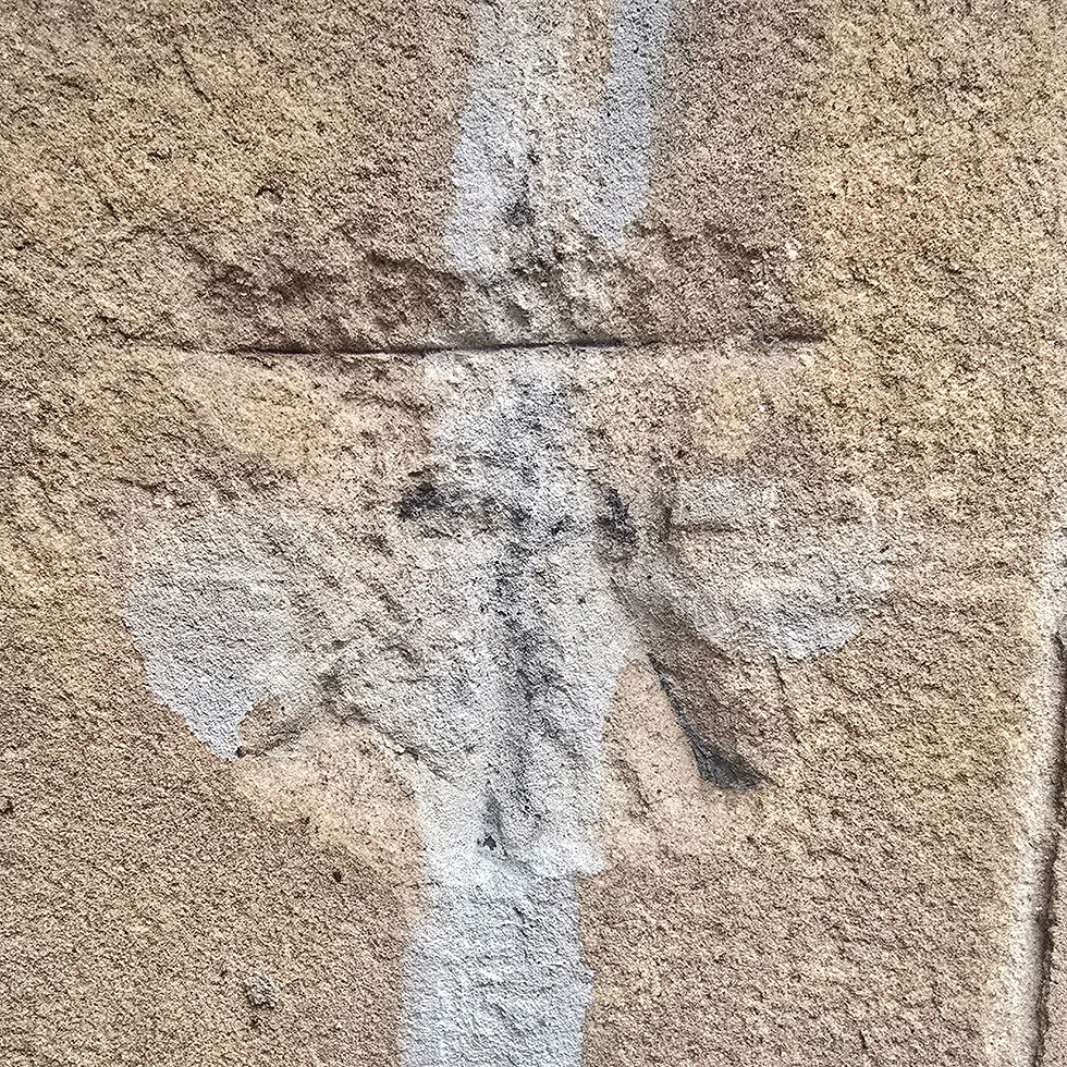
A benchmark is a small chiselled mark used by surveyors. An angle rod would be placed into the mark, creating a stable position for a levelling rod. Carving these symbols into masonry meant the rod could always be positioned in exactly the same place. You can usually spot them in older buildings and walls.
I won’t pretend to be a surveying expert, but in simple terms: benchmarks allowed surveyors to measure land elevation with precision. Each one is part of a wider network, all linked back to a Fundamental Benchmark, a single, carefully established point where the height above sea level is known. From that foundation, surveyors could calculate the elevation of anywhere else in the surrounding area.

Benchmarks were first used in the 1830s, and by the 1840s they were widely adopted by the Ordnance Survey. Which means some of these little symbols carved into stone are now over 180 years old!
If you live in Britain, you’ve almost certainly walked past one (or several) without even noticing. There is so much history hidden in the streets we walk every day, and now there's one you will be able to recognise when you spot it.

The three featured in this post were found (In order of appearance) at the McManus, Morrisons Daily (High Street), and Caird Hall in Dundee.


Comments